
Alignments That Match Engineered Roadway Plans
Roadway and Paving Staking in Brownfield for contractors maintaining centerline accuracy and elevation control during roadway construction
Paving contractors working on roadway widening, parking lot construction, and commercial paving projects depend on centerline stakes, pavement edge markers, and curb line references that match engineered horizontal alignments and vertical profiles. Stake Tech Models delivers roadway and paving staking services across Texas where grading crews, paving teams, and excavation contractors require offset control and elevation references that survive equipment traffic through multiple construction phases. When layout data translates accurately into field positions, asphalt placement follows design grades without costly removal and repaving caused by elevation errors or misaligned curb installations.
Roadway staking establishes centerlines, offset edge-of-pavement markers, curb line positions, and finish-grade elevations that guide equipment operators through subgrade preparation, base installation, and asphalt or concrete paving operations. Elevation control prevents low spots that collect water and ensures proper drainage flow across pavement surfaces and into designed collection systems.
Coordinate roadway staking before grading and paving begin to confirm control placement and verify elevation references match project specifications.
What Proper Roadway Layout Requires
Roadway staking requires transferring horizontal curves, tangent alignments, and vertical grade transitions from engineering plans into physical field markers placed at intervals that equipment operators can follow without interpolation errors. Offset staking positions control points beyond excavation and paving limits, protecting references while maintaining dimensional accuracy for centerline recovery, edge verification, and grade confirmation throughout layered pavement construction.
After staking is finished, grading contractors cut subgrade elevations to marked depths, base crews verify compacted layers meet specified thickness, and paving operators maintain constant reference to edge stakes and string lines that define pavement width and cross-slope. Curb machines follow marked lines without drifting off alignment, and final surface elevations match design profiles that direct runoff toward drainage structures.
Stake Tech Models supports excavation crews, grading contractors, and paving teams during active roadway construction, infrastructure projects, and parking lot development. Services include centerline staking for horizontal alignment, elevation control for grade transitions, offset marking for edge-of-pavement positions, and curb line layout that coordinates with drainage inlet locations and surface flow patterns across commercial and municipal projects.
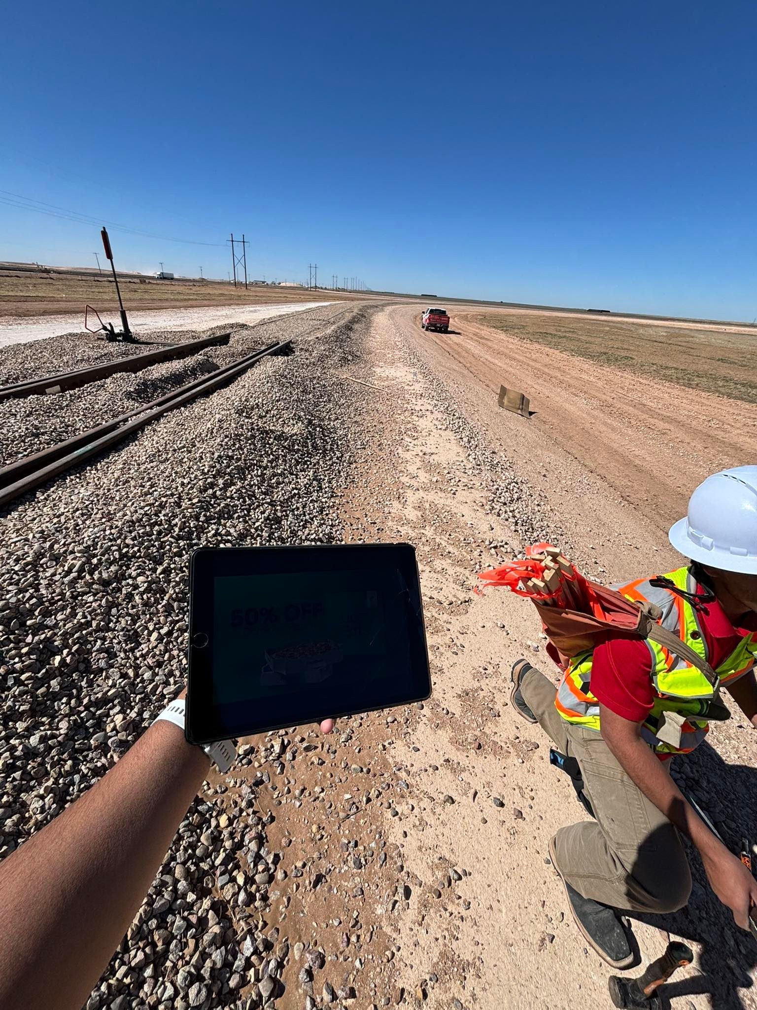
What Contractors Usually Ask
Paving teams managing grade tolerances and alignment accuracy across long roadway sections typically need clarity on staking intervals, offset distances, and elevation verification before equipment mobilizes.
What staking intervals work for roadway paving operations?
Staking intervals depend on curve radius and grade change rates, with tighter curves and steeper transitions requiring closer stake spacing to help operators maintain alignment and elevation without interpolation errors between control points.
How does offset staking protect references during paving?
Offset stakes are positioned outside pavement limits at measured distances from final edges, allowing grading and paving equipment to operate without destroying control while crews use string lines or laser systems tied to offset positions for continuous alignment and grade verification.
When should elevation control be verified before asphalt placement?
Elevation verification should occur after subgrade compaction and base installation are complete, confirming that accumulated layer thicknesses leave sufficient room for designed asphalt depths without creating high spots or insufficient cover over drainage structures.
Why does centerline accuracy matter for roadway drainage in Brownfield?
Accurate centerline positioning maintains designed cross-slopes and longitudinal grades that direct surface runoff toward inlets and ditches, preventing water accumulation during West Texas storms that can cause pavement failure and base erosion when drainage patterns are disrupted by alignment errors.
What documentation supports quality assurance during roadway construction?
Staking reports include station references, offset distances, design elevations, and as-staked elevations that allow contractors and inspectors to verify field positions match engineered plans and identify corrections before paving operations lock in final roadway geometry.
Accurate roadway layout reduces field confusion through clear communication of horizontal alignments and vertical profiles that guide equipment operators from subgrade preparation through final paving. Stake Tech Models coordinates staking delivery with grading schedules and paving timelines to support efficient roadway construction across Texas projects—schedule your layout consultation to confirm staking requirements before earthwork begins.